

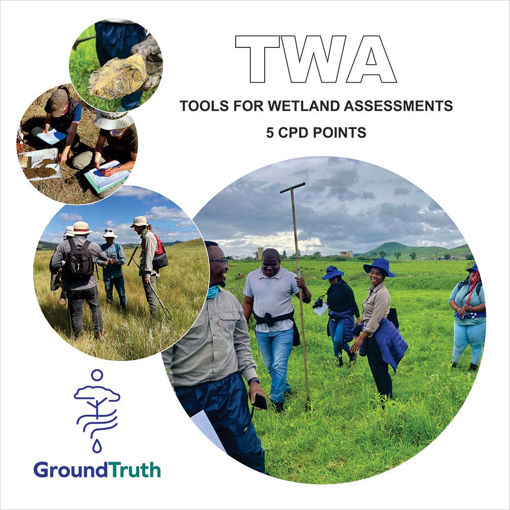
Welcome to the “Tools for Wetland Assessment” Course!
Wetlands are vital water resources protected under the National Water Act (NWA), and understanding how to assess them is essential for informed environmental decision-making. This course equips professionals and practitioners with practical skills and knowledge to conduct or review wetland assessments using a range of established tools.
Throughout the course, you’ll be introduced to:
- WET-Health (Version 2) for assessing wetland integrity
- WET-EcoServices (Version 2) for evaluating ecosystem services
- Wetland delineation techniques
- Additional tools such as buffer and offset guidelines
You’ll also gain foundational understanding of wetland hydrology, geomorphology, water quality, and ecological processes—critical for interpreting wetland dynamics and applying appropriate mitigation measures.
By the end of the course, you’ll be able to:
- Map wetlands and identify hydrogeomorphic types
- Interpret soil wetness and assess vulnerability
- Understand landscape-level processes and water quality indicators
- Apply assessment tools effectively in real-world contexts
We’re excited to have you on board and look forward to supporting your journey in wetland conservation and management!
We will also be working with QGIS - a free GIS package, that is easily available. If you haven't yet used QGIS then please download it before the course starts. There is an optional GIS pre-course assignment that you can do before the course starts - this will help teach you some basic QGIS skills needed for this course.
Your course facilitators are on hand to help you through this course, but if you get stuck, or if the student platform has any glitches in it, please can you contact us via the courses@groundtruth.co.za email.
All the best, we are looking forward to meeting you - either in-person or online.
Happy Wetlanding 🙂


